Cherokee → Blowing Rock Drive Guide


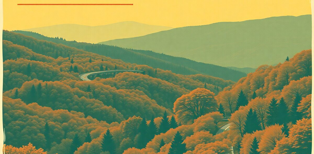
The Blue Ridge Parkway runs 469 miles, and North Carolina owns 252 of them — the highest, wildest, most photographed stretch of the whole road, from the Smokies to Blowing Rock. No billboards, no trucks, no stoplights, and a 45-mph limit that forces you to actually see it. This is the drive that anchors the entire state: the Linn Cove Viaduct curling off Grandfather Mountain, the balds at Craggy Gardens, mile after mile of layered blue ridges. Don’t be the one who tries to “do it in an afternoon” — it’s a savoring road, not a commuting one.
The route: Cherokee & Kuwohi → Mount Pisgah & the Pisgah Inn → the Folk Art Center (milepost 382) → Craggy Gardens → Linn Cove Viaduct & Grandfather → Blowing Rock
| Cost | |
|---|---|
| Time needed | |
| Best season | |
| Where | Cherokee to Blowing Rock · Mountains · ~252 miles Alabama |
📍 Where: Cherokee, North Carolina · 35.1184, -84.0886
Common questions
When's the best time to visit Cherokee → Blowing Rock?
Best season: .
How much does it cost?
. Prices drift — confirm before you go.
How long should I plan for?
Plan for about .
Is it actually worth the trip?
Our rating: Non-negotiable. The single best drive in the East, and more than half of it is yours. Do it in the fall and try not to pull over every mile.
One of 120 in Kick the Bucket List: North Carolina
The full book is 120 checkable picks like this one — with a Bucket Rating on every entry telling you what's worth the drive and what to skip. A keepsake you fill in and score.
Get the North Carolina book →More North Carolina Kick-It Picks
Tour the Biggest House in America
Non-negotiableDrink Your Way Through Beer City
Non-negotiableStroll the Storybook Village
Non-negotiableDrive America's Favorite Road
Non-negotiableVerified 2026-07. Prices and hours change — confirm before you drive. Something wrong? Tell us.