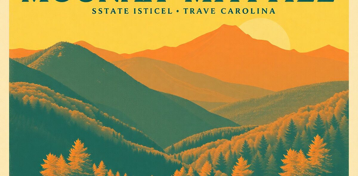
Mount Mitchell State Park Guide


Mount Mitchell tops out at 6,684 feet — the highest point in the United States east of the Mississippi River, higher than anything in New England or the Rockies’ eastern cousins — and you can drive to a paved lot near the top and walk a short ramp to the summit observation deck. It’s named for Elisha Mitchell, the professor who measured it and then died in 1857 falling from a waterfall on the mountain while trying to prove his numbers; he’s buried at the summit. The air up here is thin, cold, and often socked in fog, with a spruce-fir forest that feels like Canada dropped into the South.
| Cost | Free |
|---|---|
| Time needed | half a day with the drive |
| Best season | clear days; fall for color |
| Where | Burnsville · Mountains Alabama |
📍 Where: Mount Mitchell State Park, Burnsville, North Carolina · 35.8601, -82.2978
Common questions
When's the best time to visit Mount Mitchell State Park?
Best season: clear days; fall for color.
How much does it cost?
Free. Prices drift — confirm before you go.
How long should I plan for?
Plan for about half a day with the drive.
Is it actually worth the trip?
Our rating: Non-negotiable. If you stand on top of one thing in this state, make it the highest ground in the entire eastern half of the country.
One of 120 in Kick the Bucket List: North Carolina
The full book is 120 checkable picks like this one — with a Bucket Rating on every entry telling you what's worth the drive and what to skip. A keepsake you fill in and score.
Get the North Carolina book →More North Carolina Kick-It Picks
Tour the Biggest House in America
Non-negotiableDrink Your Way Through Beer City
Non-negotiableStroll the Storybook Village
Non-negotiableDrive America's Favorite Road
Non-negotiableVerified 2026-07. Prices and hours change — confirm before you drive. Something wrong? Tell us.