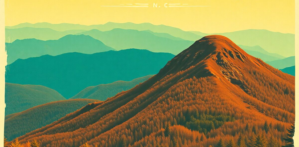
Clingmans Dome / Kuwohi Guide


The literal high point of the state, under its rightful name: at 6,643 feet, Kuwohi is the highest point in Tennessee, the highest in the Great Smoky Mountains, and the third-highest peak east of the Mississippi. Restored to its Cherokee name in 2024, it caps a 375-foot spiral ramp where, on a clear day, the view runs 100 miles across seven states. Stand on one thing in Tennessee, make it the whole thing.
Why it earns the drive
The summit rises above the spruce-fir forest to a 45-foot observation tower built in 1959, reached by a distinctive concrete ramp that curls up out of the trees. In September 2024 the peak was officially renamed Kuwohi — “mulberry place” — restoring the Cherokee name after nearly two centuries as Clingmans Dome. It’s the roof of the park, and about 650,000 people a year come to stand on it.
Three things the guidebooks gloss over. First, the fog: this is one of the wettest, foggiest spots in the East, and roughly half of visitors get socked in, seeing nothing but white. Second, the walk is deceptively brutal — a paved half-mile that climbs over 300 feet, short but steep enough to find your lungs at elevation. Third, the temperature drop is real: the summit runs 10 to 20 degrees colder than Gatlinburg, so a July afternoon up here can feel like fall.
The move
Go at sunrise or sunset — the light is best and you get the best odds of rising above the haze. Pack a jacket even in July. Buy the required parking tag ($5/day) ahead of time, because the lot fills by mid-morning on clear days. Aim April through November, since the road closes December 1 to March 31. And don’t judge the place on a foggy afternoon: come back another day and try the morning.
The honest catch — what to skip
Half of visitors get nothing but fog, so don’t build a trip around a single afternoon slot — build in flexibility, or check the webcam before driving up. Skip summer weekend midday, when the lot overflows and the ramp turns into a slow-shuffling line. And know the road is fully closed December through March, so a winter visit means a long, cold hike or a scratched plan. The view is the payoff, but the mountain decides whether you get it.
Nearby
Kuwohi sits inside the Great Smoky Mountains National Park, so pair the summit with a dawn loop through Cades Cove. In late spring, time it with the synchronous fireflies at Elkmont, one of the only places on Earth they flash in unison. For more East Tennessee waterfalls and cliffs, add Fall Creek Falls State Park. It’s a Big Ten anchor of the Tennessee guide.
| Cost | Free (park parking tag required) |
|---|---|
| Time needed | 1–2 hours |
| Best season | April–November; road closed in winter |
| Where | Great Smoky Mountains · East Alabama |
📍 Where: Clingmans Dome / Kuwohi, Great Smoky Mountains, Tennessee · 35.5779, -83.4799
Common questions
Why is Clingmans Dome now called Kuwohi?
In **September 2024** the U.S. Board on Geographic Names officially restored the peak's Cherokee name, **Kuwohi** — meaning **"mulberry place"** — after a request from the Eastern Band of Cherokee Indians. It had carried the name Clingmans Dome since the 1800s. Signs and maps now read Kuwohi; the mountain is the same **6,643-foot** summit.
How high is Kuwohi?
**6,643 feet** — the highest point in Tennessee, the highest in the Great Smoky Mountains, and the **third-highest peak** east of the Mississippi. On a clear day the view from the tower runs about **100 miles** across seven states. It's also one of the wettest, foggiest spots in the East, so clear days are the catch.
How hard is the walk to the Kuwohi observation tower?
It's a **paved half-mile** from the parking lot to the tower, gaining over **300 feet** — short but genuinely steep, and it will find your lungs at elevation. The **375-foot spiral ramp** then curls up to the platform, built in **1959** and standing **45 feet** tall. Round trip runs about **1 to 2 hours** with photo stops.
When is Kuwohi Road open?
The access road is open roughly **April 1 through November 30** and **closed December 1 to March 31** for winter. It reopened for the season in **April 2026**. The tower itself stays open year-round to those who hike or ski in, but for most visitors the road dictates the season. Confirm at nps.gov/grsm.
Do you need to pay to visit Kuwohi?
There's no entrance fee — the Great Smoky Mountains National Park is **free to enter** — but a **parking tag is now required** for any stop over 15 minutes, running **$5/day**, **$15/week**, or **$40/year**. The peak draws about **650,000 visitors** a year, so buy the tag ahead and expect a full lot at midday.
What's the best time of day to visit Kuwohi?
Aim for **sunrise or sunset** — the light is best and you have the best odds of rising above the haze that socks in the summit on half of afternoons. Weekday mornings beat weekend afternoons for crowds. Pack a jacket even in July; the top runs **10 to 20 degrees colder** than Gatlinburg below.
One of 120 in Kick the Bucket List: Tennessee
The full book is 120 checkable picks like this one — with a Bucket Rating on every entry telling you what's worth the drive and what to skip. A keepsake you fill in and score.
Get the Tennessee book →More Tennessee Kick-It Picks
Bar-Hop Lower Broadway
Non-negotiableSeptember: Get Loud at the Last Great Colosseum
Non-negotiableFind the Ribs Down the Alley
Non-negotiableJune: Get in the Crowd at CMA Fest
Non-negotiableVerified 2026-07. Prices and hours change — confirm before you drive. Something wrong? Tell us.