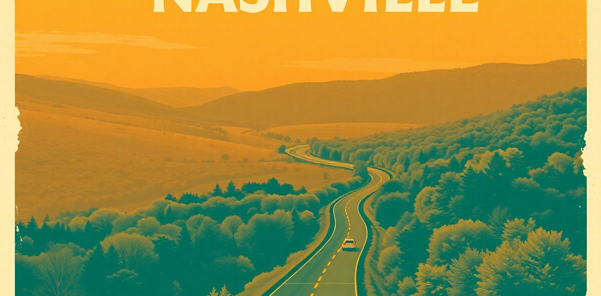
Nashville → Alabama/Mississippi line Drive Guide

Non-negotiable, and free: the Natchez Trace Parkway is a 444-mile National Park Service road with no billboards, no stoplights, and nothing trying to sell you anything — the rare American drive that just lets the country do the talking. Point the car south from Nashville and slow down.
Why it earns the drive
It’s a linear national park disguised as a highway. The parkway traces an ancient foot-and-horse path 444 miles from Nashville to Natchez, Mississippi, with no commercial traffic, no billboards, no stoplights, and a 50-mph limit that forces you to actually look. Roughly 100 miles run through Tennessee, and because the whole thing is federal parkland, the shoulders are wildflowers and every overlook is free.
Three things the blurb glosses over. First, the Tennessee stretch opens with a showstopper: the Double Arch Bridge near Franklin, a 1,648-foot span rising 155 feet over Birdsong Hollow, completed in 1994 as the first precast segmental concrete arch bridge in the country and a Presidential Design Award winner. Second, most drivers blow past the Meriwether Lewis gravesite at milepost 385.9 — the Lewis and Clark co-leader died here in 1809 of gunshot wounds still argued as suicide or murder, marked by a deliberately broken-column monument. Third, there’s no gas on the parkway, and the emptiness catches unprepared drivers out.
The move
Fill up in Franklin before you commit — there’s no fuel, food, or commerce on the parkway itself. Photograph the Double Arch Bridge from the overlook, then run the route south: Gordon House and ferry site, the Meriwether Lewis gravesite and monument at milepost 385.9 (pull off for the short walk most drivers skip), and on toward Sweetwater Branch and the state line. Budget a half to full day for the Tennessee stretch and don’t fight the 50-mph limit — slowing down is the entire point. Launch it right by eating first at the Loveless Cafe, a mile from the northern terminus.
The honest catch — what to skip
Don’t treat it like an interstate shortcut — the 50-mph limit is enforced and the parkway is slower than the highway alongside it; if you’re just trying to get somewhere, take I-65. Skip it on a fuel-light tank: the no-gas rule is absolute, and running dry out here means a long wait. And don’t speed past the Lewis monument to save ten minutes — it’s the single most interesting stop on the Tennessee section, and the whole ethos of the road is to slow down and take the walk.
Nearby
The parkway threads the middle-Tennessee section of the guide and launches straight from the Loveless Cafe biscuits at the northern terminus. Bookend the drive with a Nashville night on Lower Broadway and the original hot chicken at Prince’s. Waterfall and cliff hunters should detour east to Fall Creek Falls on the Cumberland Plateau.
| Cost | Free |
|---|---|
| Time needed | a half to full day for the Tennessee stretch |
| Best season | spring for wildflowers, October for color |
| Where | Nashville toward the Alabama line · Middle · ~100 mi in Tennessee (444 mi total) Alabama |
📍 Where: Nashville, Tennessee · 36.1623, -86.7743
Common questions
How long is the Natchez Trace Parkway?
444 miles total, running from Nashville, Tennessee, to Natchez, Mississippi. Roughly 100 miles lie in Tennessee. It's a linear national park with no commercial traffic, no billboards, no stoplights, and a 50-mph limit that forces you to actually look.
Is there gas or food on the parkway?
No — there are no gas stations, restaurants, or commercial anything on the parkway itself. Fill up in Franklin before you commit, and plan food stops in the towns just off the exits. That emptiness is the whole point, but it catches unprepared drivers out.
What are the must-stop points in the Tennessee section?
The Double Arch Bridge at Birdsong Hollow near Franklin (rising 155 feet), the Gordon House and ferry site, and the Meriwether Lewis gravesite and monument at milepost 385.9. Most drivers blow past Lewis's grave — don't; it's a short walk to one of American history's real mysteries.
Why does the Double Arch Bridge matter?
Completed in 1994, the 1,648-foot span rises 155 feet over the valley and was the first precast segmental concrete arch bridge in the U.S., its arches cast in nearby Franklin. It won a Presidential Design Award and is one of the most photographed pieces of road in Tennessee.
How did Meriwether Lewis die on the Trace?
The co-leader of the Lewis and Clark expedition died at Grinder's Stand along the Trace in 1809, of gunshot wounds still debated as suicide or murder. His broken-column monument — deliberately unfinished to symbolize a life cut short — marks the grave at milepost 385.9.
How long does the Tennessee stretch take?
Budget a half to full day for the roughly 100-mile Tennessee section, more if you stop and walk the sites. The 50-mph limit is enforced and the point is to slow down. Spring wildflowers and October color are the best windows.
One of 120 in Kick the Bucket List: Tennessee
The full book is 120 checkable picks like this one — with a Bucket Rating on every entry telling you what's worth the drive and what to skip. A keepsake you fill in and score.
Get the Tennessee book →More Tennessee Kick-It Picks
Bar-Hop Lower Broadway
Non-negotiableSeptember: Get Loud at the Last Great Colosseum
Non-negotiableFind the Ribs Down the Alley
Non-negotiableClimb the Ramp to the Top of Tennessee at Kuwohi
Non-negotiableVerified 2026-07. Prices and hours change — confirm before you drive. Something wrong? Tell us.