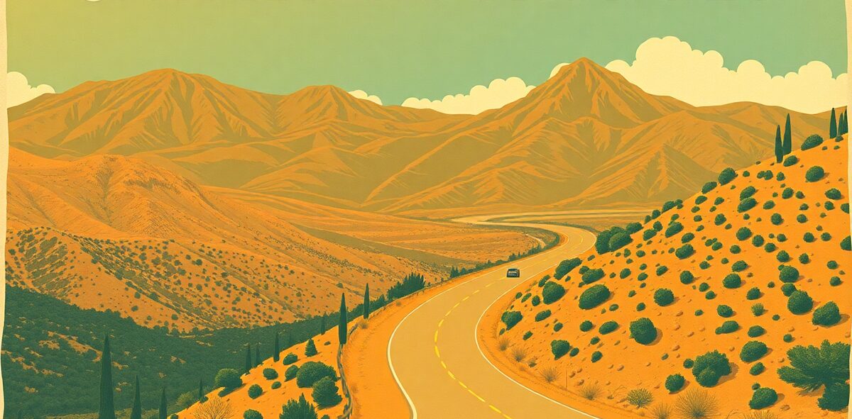
Catalina Highway, Tucson Drive Guide


The Sky Island drive up the Santa Catalina Mountains north of Tucson is the elevation hook of the whole state compressed into 27 paved miles: you leave saguaro forest at the base and climb about 6,000 feet to spruce and fir near the 9,171-foot summit, passing through what ecologists reckon is the equivalent of driving from the Sonoran Desert to Canada. Near the top sits Summerhaven, a tiny mountain village, and Ski Valley — the southernmost ski area in the continental United States, running lifts on snow with cactus visible in the valley below. The rock formations partway up (Windy Point, hoodoos, balanced boulders) are a rock-climber’s cathedral.
| Cost | ~$8 day pass |
|---|---|
| Time needed | half a day |
| Best season | year-round; summit may close for winter snow |
| Where | Mount Lemmon · South Alabama |
📍 Where: Catalina Highway, Tucson, Arizona · 32.2611, -110.7980
Common questions
When's the best time to visit Catalina Highway, Tucson?
Best season: year-round; summit may close for winter snow.
How much does it cost?
~$8 day pass. Prices drift — confirm before you go.
How long should I plan for?
Plan for about half a day.
Is it actually worth the trip?
Our rating: Non-negotiable. Desert to alpine forest in 27 miles, with the country's southernmost ski hill on top. Drive up on a scorching afternoon and feel the temperature fall off a cliff.
One of 120 in Kick the Bucket List: Arizona
The full book is 120 checkable picks like this one — with a Bucket Rating on every entry telling you what's worth the drive and what to skip. A keepsake you fill in and score.
Get the Arizona book →More Arizona Kick-It Picks
Walk With the Dead Down the Street
Non-negotiableChase the Light Through Stone
Non-negotiableWatch the Monsoon Detonate
Non-negotiableRoam the Desert's Whole Living Museum
Non-negotiableVerified 2026-07. Prices and hours change — confirm before you drive. Something wrong? Tell us.