Scenic Byway 12 (Panguitch → Escalante → Boulder → Torrey) Drive Guide


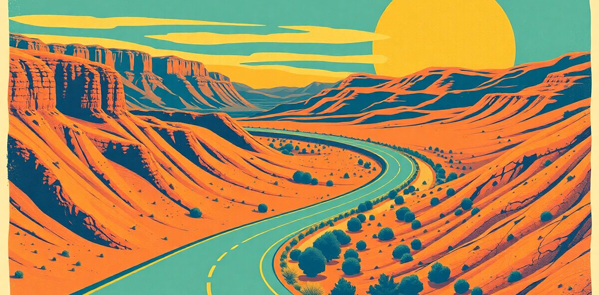
If you drive one road in Utah, drive this one. Byway 12 runs 122 miles from near Bryce Canyon to Torrey, and it’s one of only a couple dozen All-American Roads in the nation — the top tier, roads that are destinations in themselves. It climbs from red-rock desert through the slot-canyon country of Grand Staircase-Escalante, crosses the Hogback (a paved spine barely wider than the car with canyons dropping away on both shoulders), and tops out over 9,000 feet in aspen forest on Boulder Mountain before dropping into Capitol Reef country. In a single afternoon you go from desert to alpine and back. Nobody forgets the Hogback.
| Cost | free (fuel + your stops) |
|---|---|
| Time needed | a full day |
| Best season | May–October; Boulder Mountain closes with snow |
| Where | Scenic Byway 12 · Color Country Alabama |
📍 Where: Scenic Byway 12 (Panguitch, Utah · 37.7707, -111.6055
Common questions
When's the best time to visit Scenic Byway 12 (Panguitch → Escalante → Boulder → Torrey)?
Best season: May–October; Boulder Mountain closes with snow.
How much does it cost?
free (fuel + your stops). Prices drift — confirm before you go.
How long should I plan for?
Plan for about a full day.
Is it actually worth the trip?
Our rating: Non-negotiable. The single greatest drive in Utah and one of the best in America: desert to alpine and back in 122 miles, across a spine of rock with air on both sides. If you only drive one road, drive this.
One of 120 in Kick the Bucket List: Utah
The full book is 120 checkable picks like this one — with a Bucket Rating on every entry telling you what's worth the drive and what to skip. A keepsake you fill in and score.
Get the Utah book →More Utah Kick-It Picks
Ski the Deep End in the Cottonwoods
Non-negotiableStand Under the Icon
Non-negotiableChase the Stars at 8,000 Feet
Non-negotiableStand Over the Hoodoos
Non-negotiableVerified 2026-07. Prices and hours change — confirm before you drive. Something wrong? Tell us.